DEPTH OF COVER
ANALYSIS & REPORTING
We provide depth of cover analysis and reporting services to help clients meet regulatory requirements and manage risk associated with shallow or exposed pipelines.
Using locating equipment and GPS mapping technology, we collect depth measurements at defined intervals along pipeline crossings, including environmentally sensitive areas such as waterways. Depending on site conditions, our crews access crossings using boats or by working in the water with appropriate equipment.
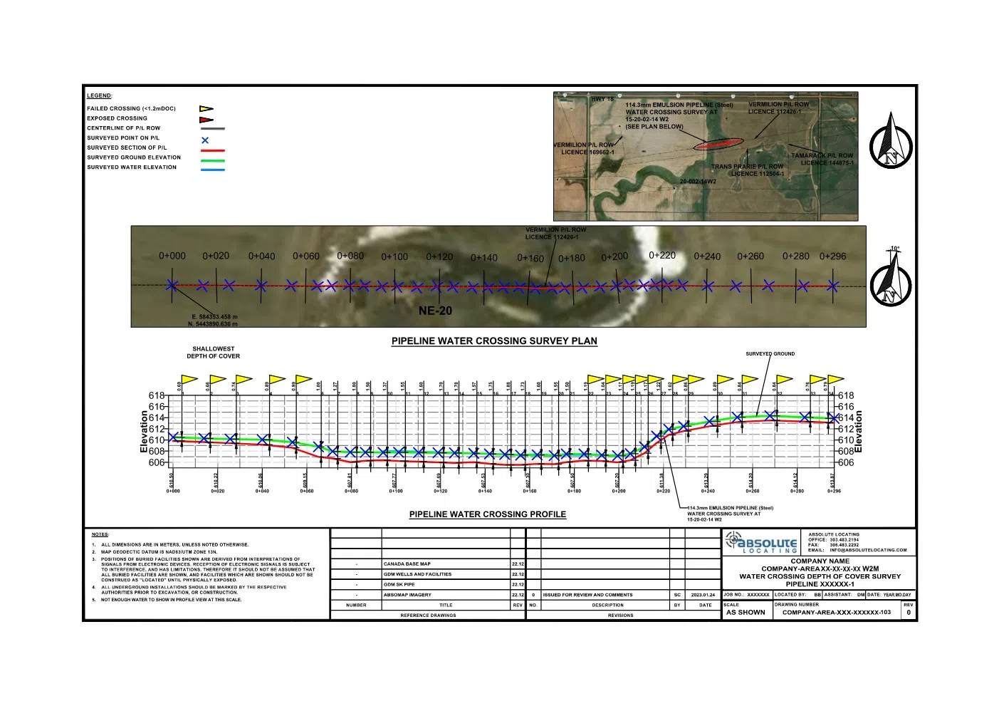
Each assessment includes a comprehensive reporting package consisting of geo-referenced depth measurements, detailed inspection forms, site photography, and pipeline crossing profile drawings showing pipeline position relative to ground elevation and water levels.
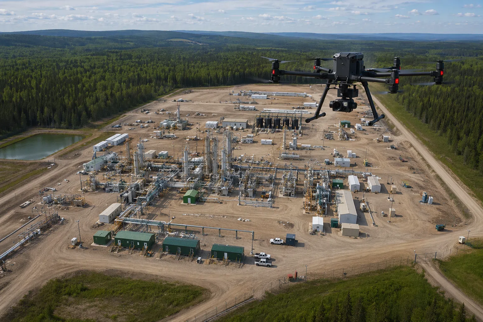
Aerial mapping and survey data are incorporated to provide a clear visual representation of the crossing, along with supporting datasets that allow for accurate analysis and long-term tracking.
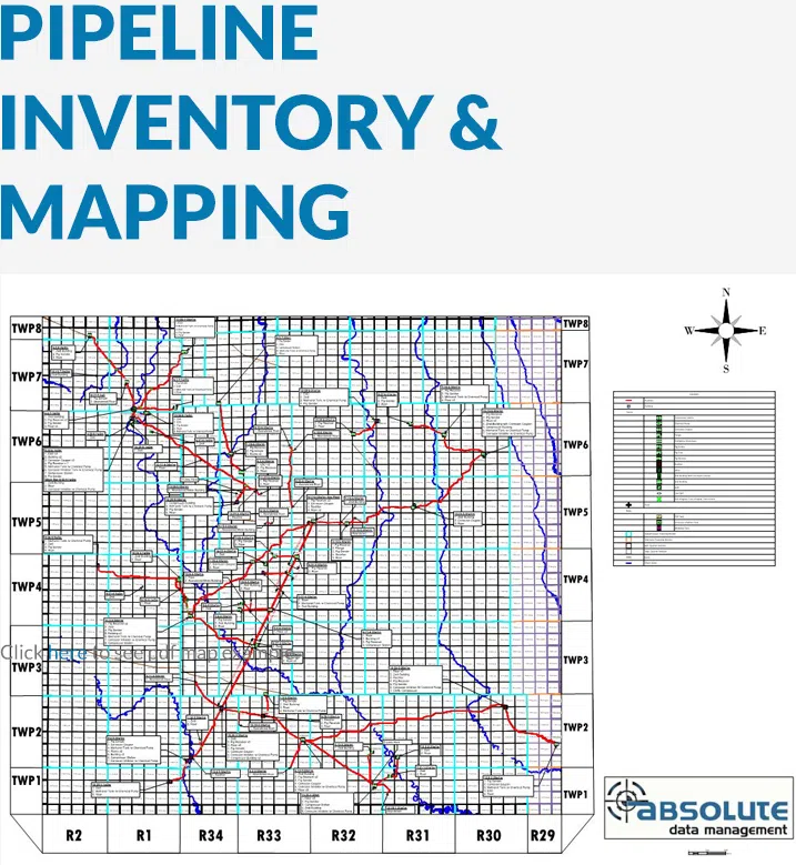
All information is stored within our AbsoMap GIS platform, giving clients access to both current and historical records for compliance reporting, maintenance planning, and risk management.
These reports provide clear, actionable information to support regulatory submissions and help identify areas requiring attention before they become a concern.