OUR SERVICES

Damage Prevention Services

UNDERGROUND FACILITY
LOCATING

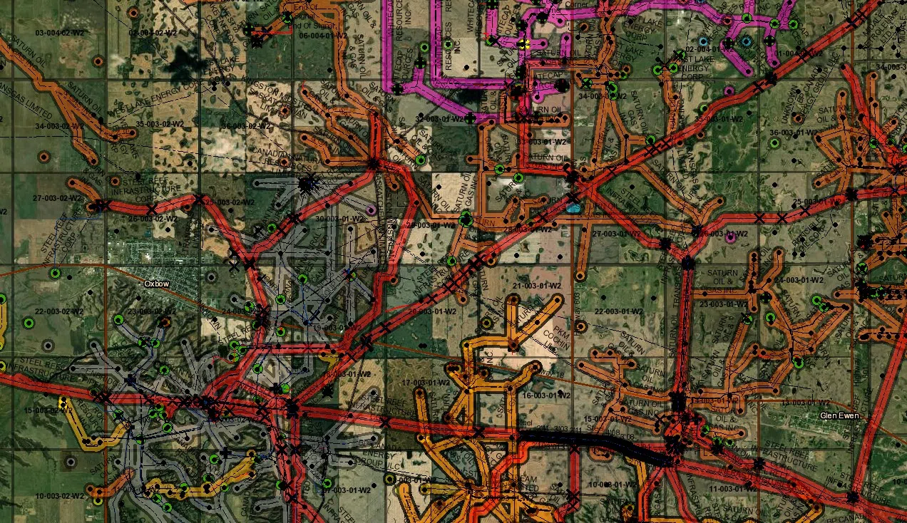
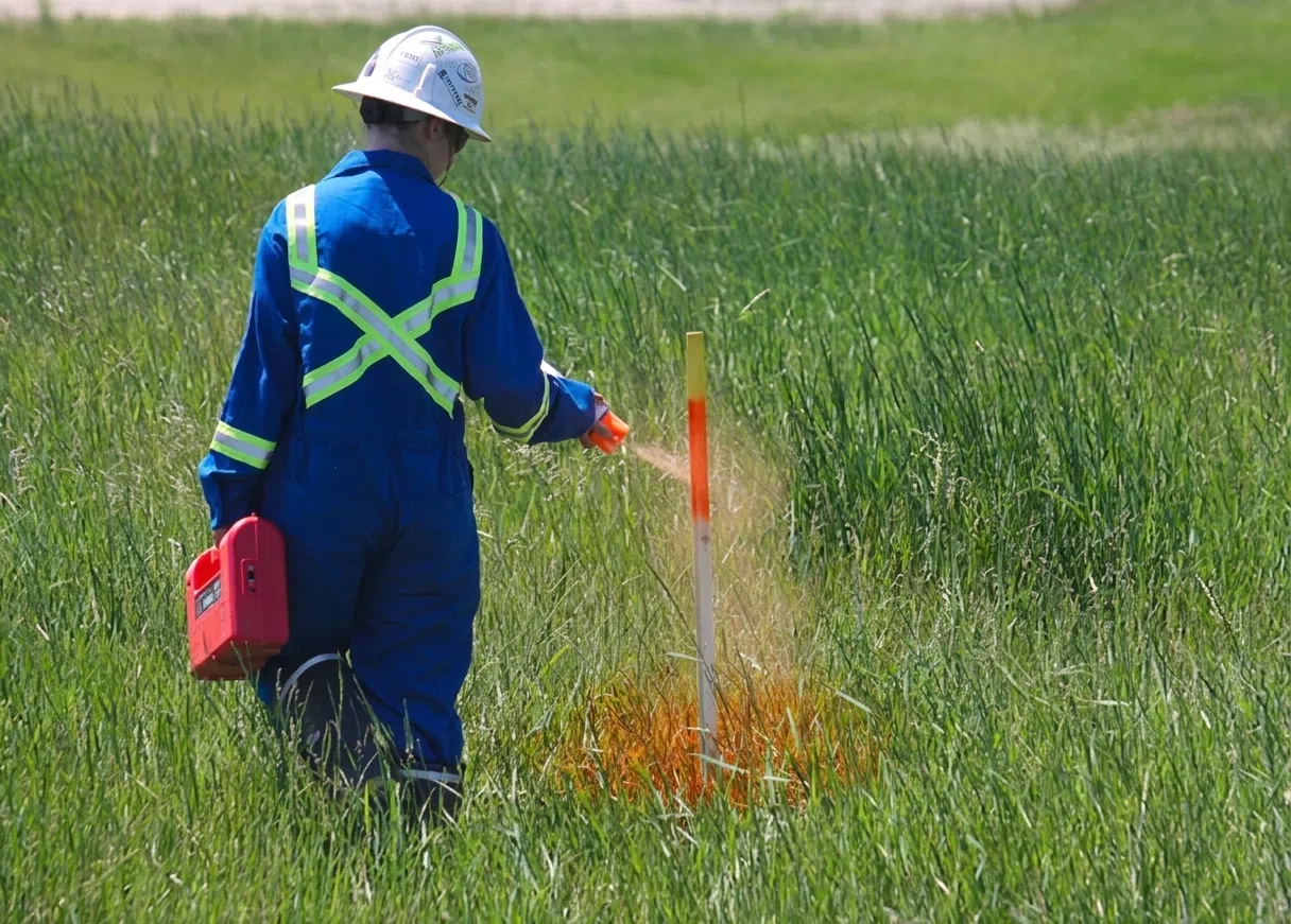
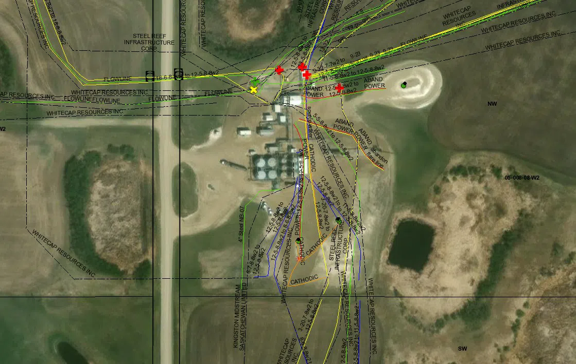
We provide professional underground facility locating services to support safe excavation and reduce the risk of damage to buried infrastructure. Using available data such as pipeline databases, survey plans, as-builts, and historical locate records stored in our AbsoMap GIS platform, we combine existing information with field verification to identify both known and unknown underground facilities.

Our team follows industry-recognized procedures to thoroughly investigate work areas, accurately mark underground infrastructure, and provide clear documentation of all locate results. This information is digitally recorded and stored for future reference. We utilize a range of locating equipment and frequencies to adapt to varying site conditions, ensuring reliable results across different soil types, facility materials, and project environments.

Our locating services support projects including:

  • Pipeline and facility construction
  • Environmental and reclamation work
  • Power and utility installations
  • Well site development
  • Road and access construction
  • Seismic operations
  • Integrity and inspection programs

Any project involving ground disturbance requires accurate locating. We ensure the infrastructure below is clearly identified before work begins.
Underground Facility Locating
GPS Map Services

April 30, 2020

GPS MAP
SERVICES

We provide GPS mapping services to capture accurate, sub-meter location data for underground facilities and site features. Using map-grade GPS equipment, we collect and record field data to support a wide range of applications, including underground facility mapping, lease boundaries, as-built documentation, site analysis, and environmental assessments.

All data is integrated into our AbsoMap GIS platform, allowing us to store, manage, and visualize information alongside historical locate records, satellite imagery, and client-provided datasets. This provides clear above-ground context for underground infrastructure and improves planning, analysis, and decision-making.

For enhanced accuracy and visualization, we can also incorporate UAV-collected imagery, providing up-to-date site conditions that reflect the same day the work is completed. GPS mapping can also support pipeline analysis and repair planning by helping identify key features and potential problem areas before work begins.

MARKER PLATE
LOCATING SERVICES

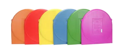
Marker plates provide a reliable method for identifying and relocating underground facilities, particularly in situations where traditional locating methods may be limited. These passive electronic markers are disc-based and are installed at key points within underground systems. They can be located using standard marker detection equipment, allowing for consistent and repeatable identification over time.

Marker plates are commonly used to identify:

  • Pipe ends
  • Road crossings
  • Buried services
  • Non-metallic lines
  • Repair locations
  • Tie-in points
  • Key underground infrastructure

Because they contain no batteries or active components, marker plates offer long-term reliability with minimal maintenance. Their durable construction allows them to withstand harsh underground conditions while maintaining consistent performance. Marker plates can be selected based on depth requirements and application, allowing for effective marking of both shallow and deeper buried facilities. Installing marker plates during construction or excavation helps create a permanent reference system, improving future locating efficiency and reducing the risk of damage to underground infrastructure.

Marker Plate Locating

RODDER ASSISTED
LOCATING

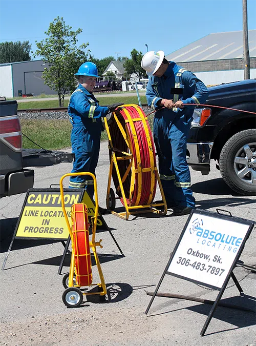
Rodder assisted locating is used to identify underground facilities that cannot be located using standard methods, such as non-metallic or fiberglass lines without tracer wires. A traceable fiberglass rodder is inserted into the line and energized using a signal transmitter. This allows the locator to trace the rod from above ground, making it possible to accurately locate and mark the full length of the buried facility.

This method is effective for locating non-conductive infrastructure where traditional locating equipment cannot detect a signal. Rodder assisted locating typically allows facilities to be traced to depths of approximately 10 feet, depending on site conditions. To perform this service, access to the facility is required. The line must be safely opened and de-pressurized so the rodder can be inserted.

Rodder Assisted Locating
Provincial First Call Management Services

PROVINCIAL FIRST CALL
MANAGEMENT SERVICES

We provide complete Provincial First Call management services to help clients meet regulatory requirements and efficiently manage locate requests.

Through our Absolute Data Management platform, we handle the full process on your behalf, including dataset preparation, submissions, and ongoing ticket response management.

We use available data such as pipeline registries, survey plans, land titles, and our own historical locate records stored in AbsoMap to build accurate datasets for submission to Provincial First Call systems, ensuring proper notification and coverage of your underground infrastructure.

Because AbsoMap contains historical locate data collected from past projects, including infrastructure not recorded in standard databases such as secondary power and cathodic systems, we are able to more accurately screen and assess locate requests. This allows for more efficient clearing of tickets, reduces unnecessary locates, lowers costs, and improves safety for our clients.

Response criteria are developed based on proximity to your facilities, allowing us to manage and complete responses on your behalf and arrange locates when required using our qualified field teams.

All documentation is stored and shared with clients and relevant parties, providing clear tracking and accountability.

We also provide One Call management services in North Dakota, supporting cross-border operations and regulatory compliance.

de-pressurized so the rodder can be inserted.

FAULT
FINDING

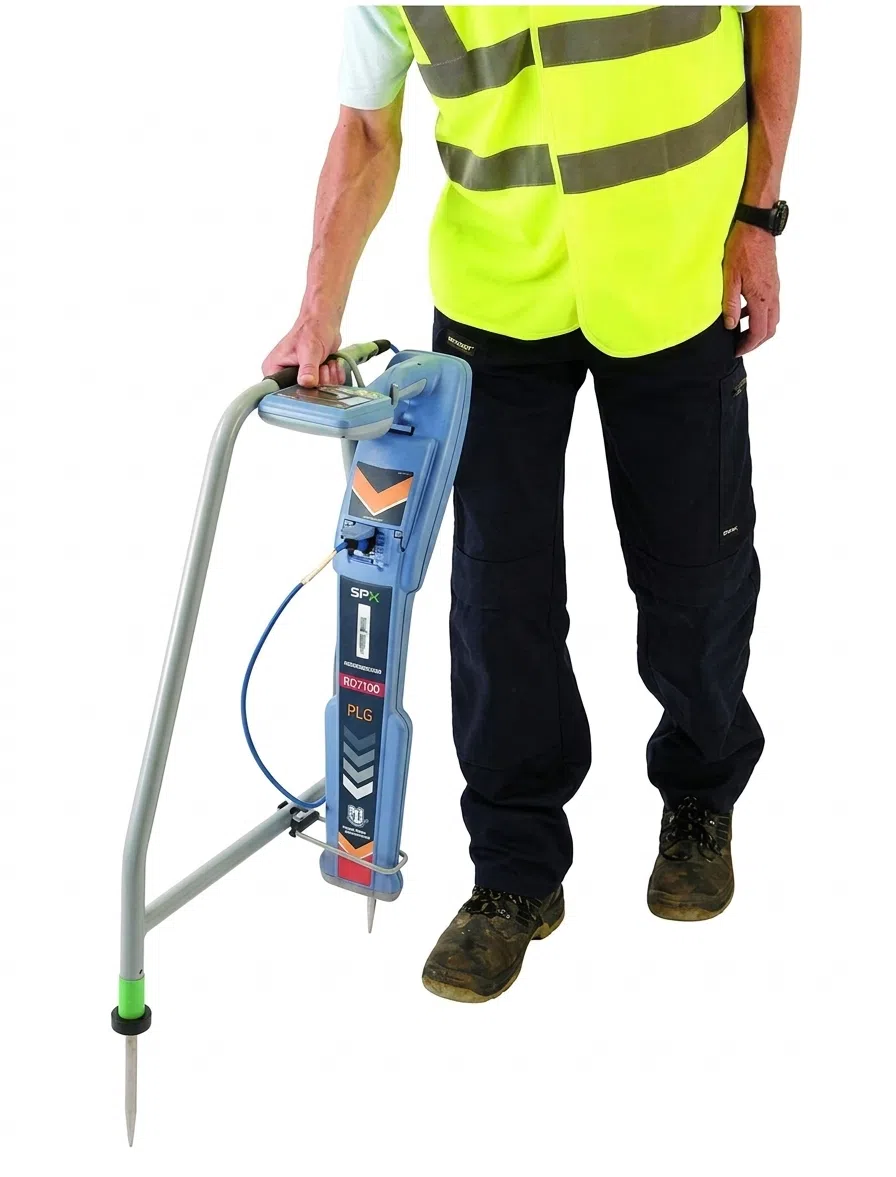
Fault finding is used to identify breaks, shorts, or faults in underground cables and systems, allowing issues to be located and addressed quickly and accurately. Using specialized equipment such as an A-frame fault locator, we can trace and isolate faults in power lines, communication cables, and other buried infrastructure without the need for unnecessary excavation.

This service is particularly effective for:

  • Damaged or cut power cables
  • Communication line failures
  • Intermittent or unknown underground faults
  • Troubleshooting during construction or repair work

By accurately identifying the location of faults, we help reduce downtime, minimize excavation, lower repair costs, and improve overall safety.

Fault Finding

CALL
BEFORE
YOU DIG.

MAKE THE CALL.

Sask 1st Call is a “Call Before You Dig” location screening and notification service for contractors and customers who are planning to dig or excavate.

Calling Sask 1st Call will proactively alert the Sask 1st Call subscriber companies of plans to disturb the ground. Sask 1st Call will issue line locate request notifications to subscriber companies to ensure that underground facilities are clearly marked before work starts.

First Call organizations enhance safety to the public and digging community as well as reduce damage and associated costs to underground facilities.

Call 1 (866) 828-4888 or go online to place your 1st Call.